ACHTUNG: VERSAND IN GANZ EUROPA!
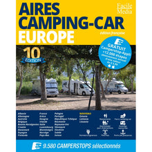
Aires Camping-Car Europe 10. Auflage, Führer in französischer Sprache.
Aires Camping-Car Europe is the French version of Camperstop Europe.
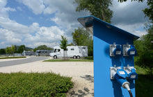
This driver offers an excellent overview of locations or stops in almost all of Europe. Symbols, photos and GPS coordinates make the content of the leader easily understandable. The plates are designed to be used by vehicles and camper vans in the same way. These places can be used (water, watering, sometimes even with a strom), parked and used over night, often free of charge. A few places are located in idyllischer Lage, in malerischen Dörfern or in Vorten von Großstädten.
Aires Camping-Car Europe 10. Auflage.
-AiresCamping-Car 10. Europe is displayed in A4-Format. -9580 places in 30 European countries,including Denmark, Sweden, Finland and Norway,as well as Romania, Slovakia, Poland, Czech Republic, Bosnia-Herzegovina and Albania.
Over 30 countries!!!Frankreich, Deutschland, Niederlande, Griechenland, Italien, Albanien, Norwegen, Österreich, Belgien, Bosnien-Herzegowina, Kroatien, Dänemark, Slowakei, Slowenien, Spanien, Estland, Finnland, Ungarn, Irland, Lettland, Litauen, Luxemburg, Montenegro, Polen, Portugal, Vereinigtes Königreich, Tschechische Republik, Rumänien, Schweden, Schweiz.
Hauptmerkmale: +Französisch +743 Seiten im A4-Format +9580 Gebiete in 30 Ländern +7751 Fotos von Gebieten +GPS-Koordinaten von jedem Gebieten.
Wie man Aires Camping-Car Europe 10. Ausgabe benutzt.
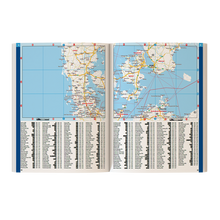
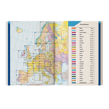
The carts of Aires Camping-Car Europe have been updated for this 10th edition. The location of the 42 carts is to be found at the front of the driver. In the driver's office, the driving directions are marked with a rotating point next to the name of the nearest town. The areas can be shown in the alphabetical index or in the regional entries for each country.
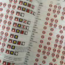
The list of the areas can be found on the index next to the cartography or on the alphabetical index at the end of the book. Both indexes contain symbols next to the place name in order to show which type of area is used. For each country there is information on road regulations, road signs, traffic signs, traffic signs, the type of road and some parking regulations.
Format The driver's format contains the street names and GPS coordinates in the following format: N31.36297 W5.01915.
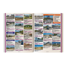
There are short indications such as: "The parking place at the yachting harbor or park next to the bus park", made up of the opening times, the available parking places, the prices and the available services; the latter are indicated by symbols.
Additionalinformation: Many of the travel guides also offer information about tourist attractions such as museums, markets, cultural attractions, etc. At the same time, there are general information about the city or the location of the area: "modern city center", "Badeort with casino" or "skyscrapers".
Geduldete" Übernachtungsplätze Der Leitfaden erklärt: "In einigen Ländern gibt es das Konzept der geduldeten Parkplätze.
Das bedeutet, dass das Parken/Übernachten zwar offiziell verboten ist, aber aus irgendeinem Grund von den örtlichen Behörden geduldet wird. As long as your camping equipment (tents, shelves, grills, etc.) is stored in your mobile home and you park it where a permit or a law requires it, it is unacceptable for you to be allowed to do so. Problems arise when many vehicles use these "unofficial" places at the same time and/or use or use them in a different way in the future.


